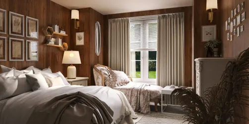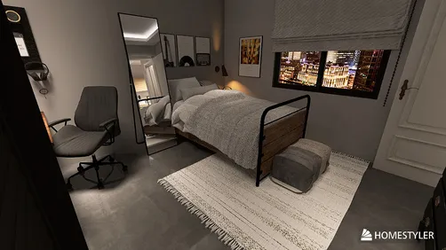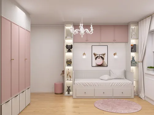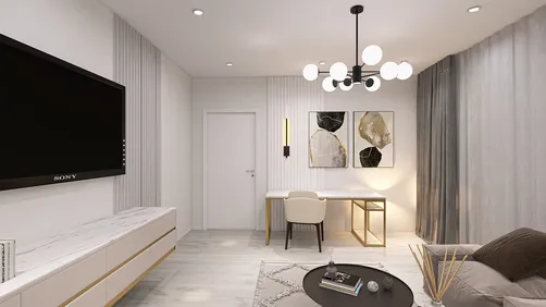
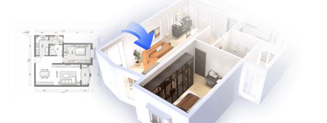
The skill of 3D terrain modeling is essential for architects, landscape designers, and game developers alike, as it enables the creation of lifelike environments perfect for visualization, simulation, or planning purposes. Typically, the process begins with gathering terrain data, such as Digital Elevation Models (DEMs) or contour maps, which are then imported into 3D modeling applications. Following this, users can sculpt or generate the terrain mesh. Various software choices, including Blender, SketchUp, and specialized GIS tools like ArcGIS, provide features for heightmap import, mesh editing, and texture mapping aimed at enhancing the 3D terrain modeling experience. The process includes establishing a base mesh, applying elevation data, and refining geographical features, along with detailing elements such as trees, rocks, and water bodies. Utilizing textures and proper lighting techniques greatly enhances the natural appearance and interactivity of the terrain. As an interior designer, I acknowledge that terrain modeling is vital not only for outdoor projects—such as landscape and site integration—but also for designing interiors that blend seamlessly with their surroundings. Tools like Homestyler serve as powerful solutions, allowing you to integrate your interior design projects with detailed terrain models, facilitating a clearer visualization of how landscape elements and interior spaces come together.
Tips 1:
Kick off your terrain modeling journey by starting with precise survey data to guarantee your 3D representations mirror the true physical topography. This method can save significant time in subsequent design phases while minimizing the risk of costly mistakes.
FAQ
Q: What types of data are typically utilized in 3D terrain modeling?
A: Digital Elevation Models (DEM), contour maps, satellite imagery, and occasionally drone photogrammetry are common data sources.
Q: Which software is recommended for those new to 3D terrain modeling?
A: SketchUp and Blender are favored options due to their user-friendly interfaces, while specialized software like Homestyler provides integrated solutions for both floor and terrain planning.
Q: How can realistic textures be applied to a 3D terrain model?
A: High-resolution satellite images or tileable textures can be mapped over your mesh, giving it a lifelike quality.
Q: Can terrain models be exported for use in other design applications?
A: Absolutely, most software supports exporting in formats like OBJ and FBX, which are compatible with various interior and architectural design platforms.
Q: In what ways does 3D terrain modeling support interior designers?
A: It aids in visualizing the interaction between indoor spaces and their outdoor environments, ensuring that site-specific elements like slope, view, and sunlight are incorporated into the overall design.

Minimalist Fabric Three Seater Sofa with Decorative Pillows and Throws 3D Model
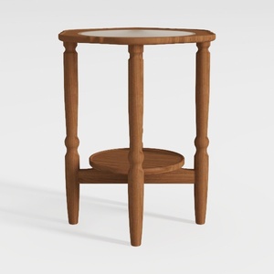

Minimalist Solid Wood Marble Top Round Side Table 3D Model
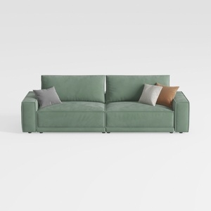
Minimalist Sage Green Fabric Sofa with Decorative Throw Pillows 3D Model
Homestyler is your go-to online home design platform, perfect for anyone wanting to create beautiful spaces. With its easy-to-use design tool, stunning 3D renderings, diverse design projects, and helpful DIY video tutorials, transforming your home has never been easier or more inspiring!
Design jetzt kostenlos