Transforming Google Earth data into intricate 3D models can unlock a vast array of opportunities for architects, urban planners, and enthusiasts alike. This guide will detail the process of extracting Google Earth data and converting it into impressive 3D visualizations using tools like Homestyler.
So, why convert Google Earth data into 3D models? This process is invaluable whether you aim to showcase architectural designs, craft detailed environments, or even build video games, as it provides critical geographical insights.
Step 1: Assemble Essential Tools
Before diving into the conversion, ensure you have the necessary tools ready. You will require:
Step 2: Retrieve Data from Google Earth
The following step is to extract the geographical information from Google Earth:
Launch Google Earth Pro and navigate to your area of interest.
Utilize the placemark function to pinpoint specific locations you wish to model.
Export the placemark data as either a KML or KMZ file, which will include the relevant coordinates and elevation information.
Step 3: Import Data into Your 3D Software
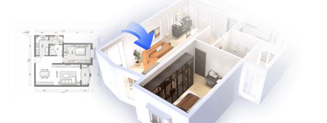
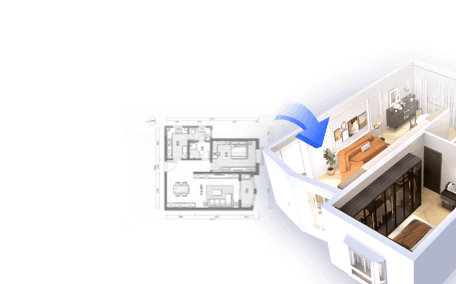
With your KML or KMZ file prepared, you can now import this data into your preferred 3D modeling program, such as Homestyler:
Step 4: Enhance and Refine Your Model
Once you have created your basic 3D model, you can begin to refine and enhance it:
Apply textures and materials to give your model a lifelike quality.
Add lighting effects to mimic real-world conditions.
Modify the model’s scale and proportions as needed.
Step 5: Export Your Completed Model
When you are pleased with your 3D model, the final step is to export your creation:
Select the export option in your 3D software.
Choose the appropriate file format (e.g., .OBJ, .FBX) based on your project requirements.
Save and share your model as necessary.
Explore and Create!
With a solid understanding of how to convert Google Earth data into stunning 3D models, your only limitation is your imagination. Get started and begin crafting captivating visualizations for your projects, leveraging tools like Homestyler for enhanced creativity!
FAQ
Q: What software can I utilize for converting Google Earth data? A: You can employ applications such as SketchUp, Blender, or 3ds Max, as well as Homestyler, to convert Google Earth data into engaging 3D models.
Q: Is Google Earth Pro complimentary? A: Yes, Google Earth Pro is free to use and provides advanced capabilities for data extraction.

Modern Minimalist Solid Wood TV Stand Cabinet with Storage 3D Model

Modern Marble Solid Wood TV Wall Unit With Bookshelves 3D Model

Minimalist Solid Wood Accent Cabinet with Textured Top 3D Model
Homestyler is your go-to online platform for transforming your home design ideas into reality. With its easy-to-use design tool, stunning 3D renderings, inspiring design projects, and helpful video tutorials, creating your perfect space has never been simpler or more enjoyable!
Design Now for FREE